


La Bastide des Parédous

tercla
User
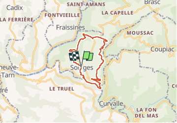

Length
12.3 km

Max alt
513 m

Uphill gradient
495 m
Km-Effort
18.9 km

Min alt
231 m

Downhill gradient
494 m
Boucle
Yes
Creation date :
2025-06-15 12:19:39.648
Updated on :
2025-06-15 16:26:05.302
4h04
Difficulty : Difficult

FREE GPS app for hiking
 SityTrail
IGN / Geographical institutes
SityTrail Plus
The world is yours!
About
Trail Walking of 12.3 km to be discovered at Occitania, Aveyron, La Bastide-Solages. This trail is proposed by tercla.
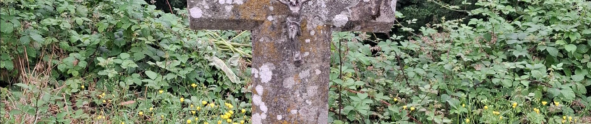
Photos


Positioning
Country:
France
Region :
Occitania
Department/Province :
Aveyron
Municipality :
La Bastide-Solages
Location:
Unknown
Start:(Dec)
Start:(UTM)
461766 ; 4865889 (31T) N.
Comments